Writing on geospatial, data engineering, RAG and beyond.
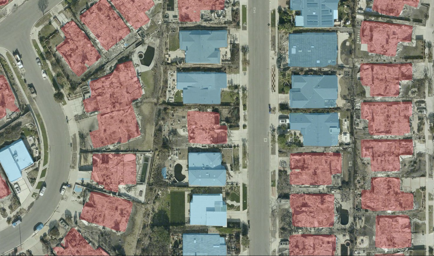
I built a custom web app to test my MBCTD model on the 2025 LA wildfires. Here's a look at how it generalized to real-world disaster damage on the fly.
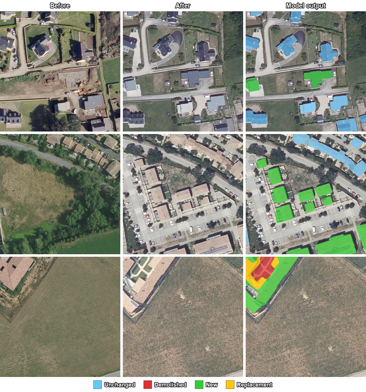
I'm releasing MBCTD, a deep learning model that detects demolished, new, and unchanged buildings independently per pixel, including replacement sites that single-label models can't represent.
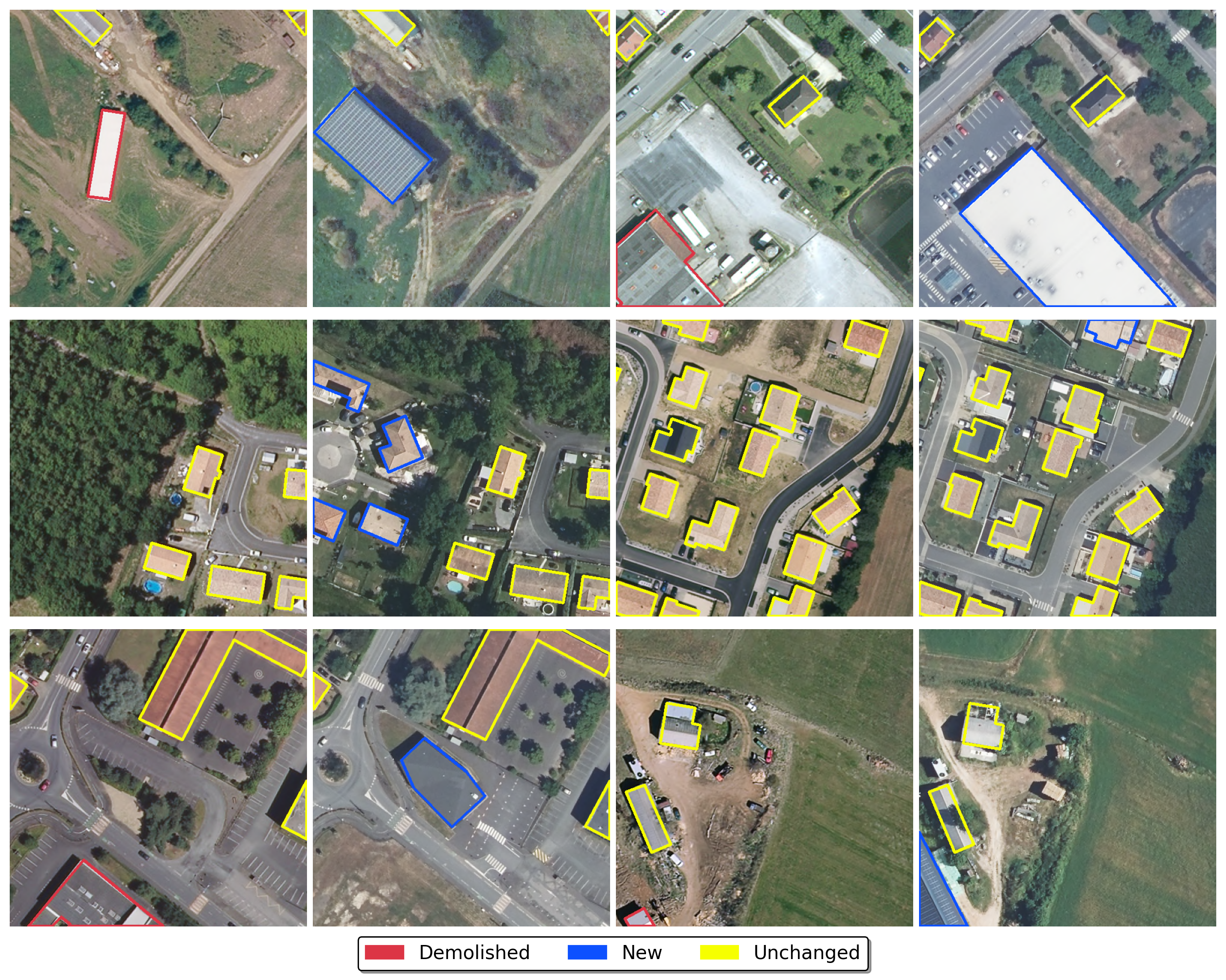
I'm announcing FOTBCD, a national-scale building change detection dataset derived from authoritative French orthophotos and topographic data, designed for robust geographic generalization and commercial use.
Binary change detection tells you something changed. Directional multi-label detection tells you what happened. Here's why that distinction matters for urban monitoring and damage assessment.